| Filename | Brittain_MAPH_405_2018-08-02_1 |
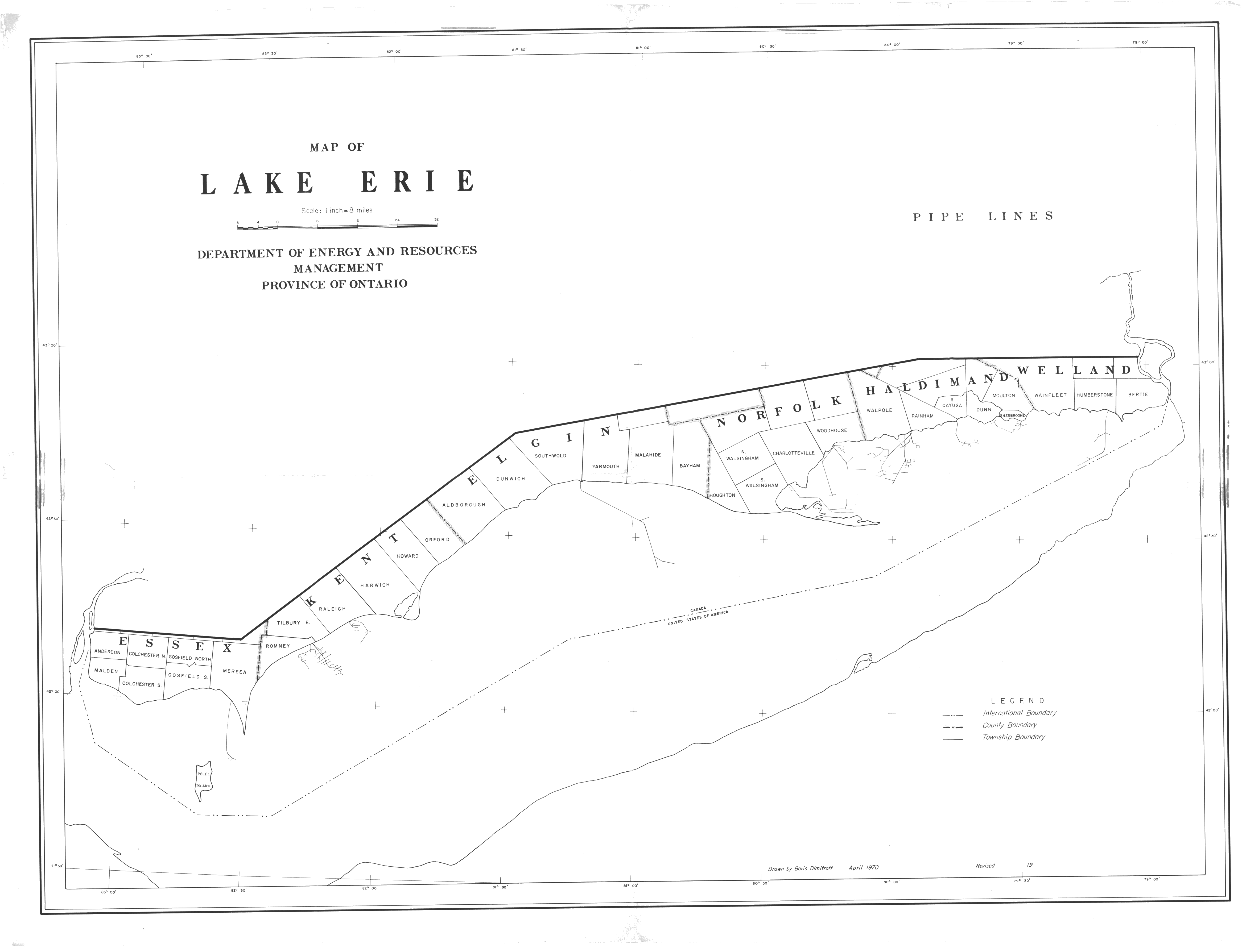
| Map Title | Map of Lake Erie |
| Front/Back | Front |
| Blank | No |
| Physical Location | MAPH |
| Cartographer | Boris Dimitroff |
| Publisher | Department of Energy and Resources Management |
| Date | 1970-04-01 |
| Copyright Holder | Government |
| Map Type | Resource |
| Continent | North America |
| Country | Canada |
| State | Ontario |
| County | |
| Township | |
| Municipality | |
| Lat Ne | 43.091515 |
| Long Ne | -78.867391 |
| Lat Sw | 41.598533 |
| Long Sw | -83.199483 |
| Map Scale Text | 1 inch: 8 miles |
| Map Scale Ratio | 1:506,880 |
| Quality Score | 2 |
| Documentation Score | 2 |
| Georeference Algorithm | |
| Well Points | Yes |
| Notes | A map of Lake Erie showing township, international and county boundaries. |