| Filename | Brittain_MAPH_36_2018-08-01_1 |
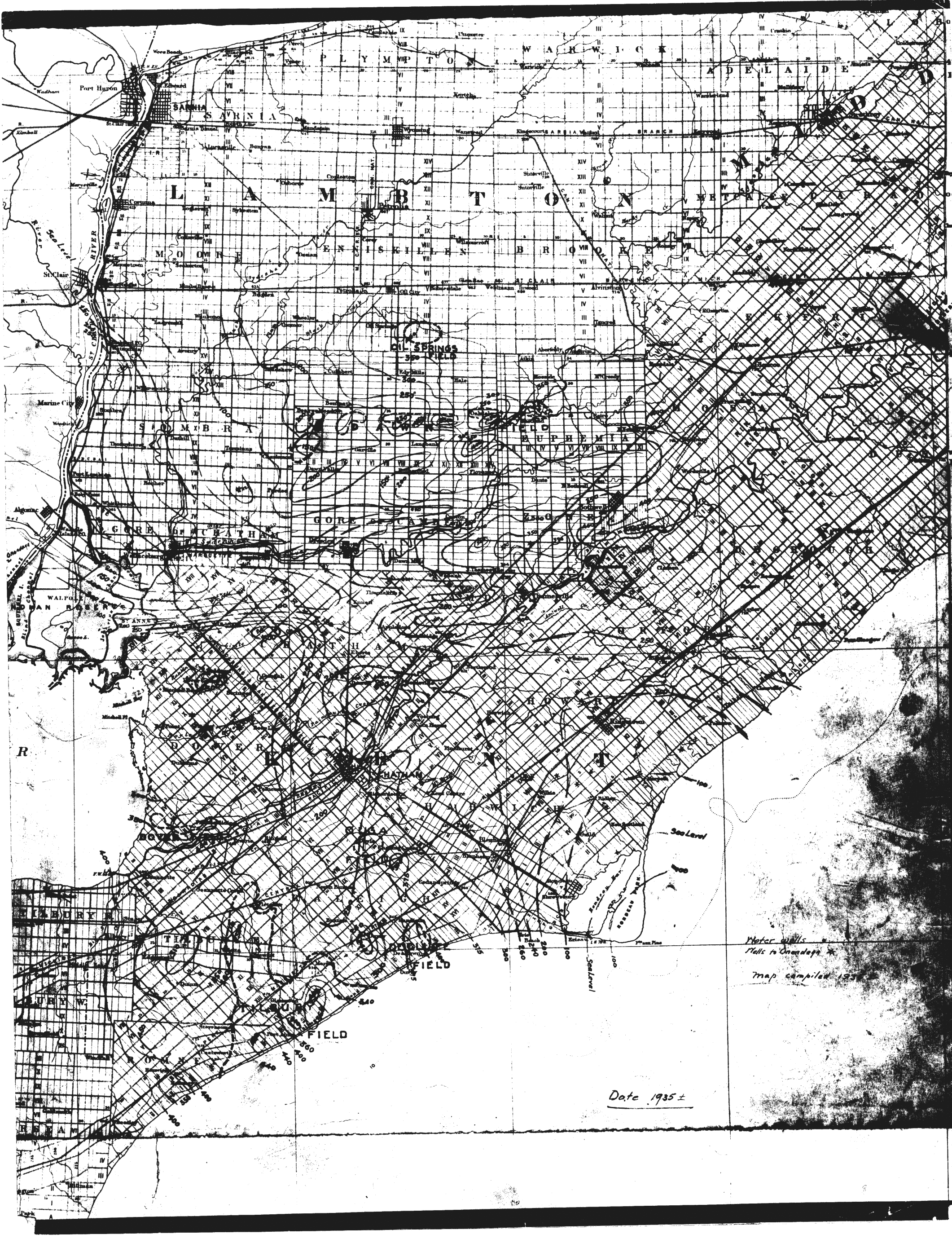
| Map Title | Contours along Elgin and Lambton Counties |
| Front/Back | Front |
| Blank | No |
| Physical Location | MAPH |
| Cartographer | |
| Publisher | |
| Date | 1935-01-01 |
| Copyright Holder | |
| Map Type | Resource |
| Continent | North America |
| Country | Canada |
| State | Ontario |
| County | Elgin |
| Township | |
| Municipality | |
| Lat Ne | 43.124493 |
| Long Ne | -81.469944 |
| Lat Sw | 41.991365 |
| Long Sw | -82.533969 |
| Map Scale Text | |
| Map Scale Ratio | |
| Quality Score | 2 |
| Documentation Score | 2 |
| Georeference Algorithm | |
| Well Points | Yes |
| Notes | A map with contours along Elgin and Lambton counties. |