| Filename | Brittain_MAPH_1_2018-07-31_1 |
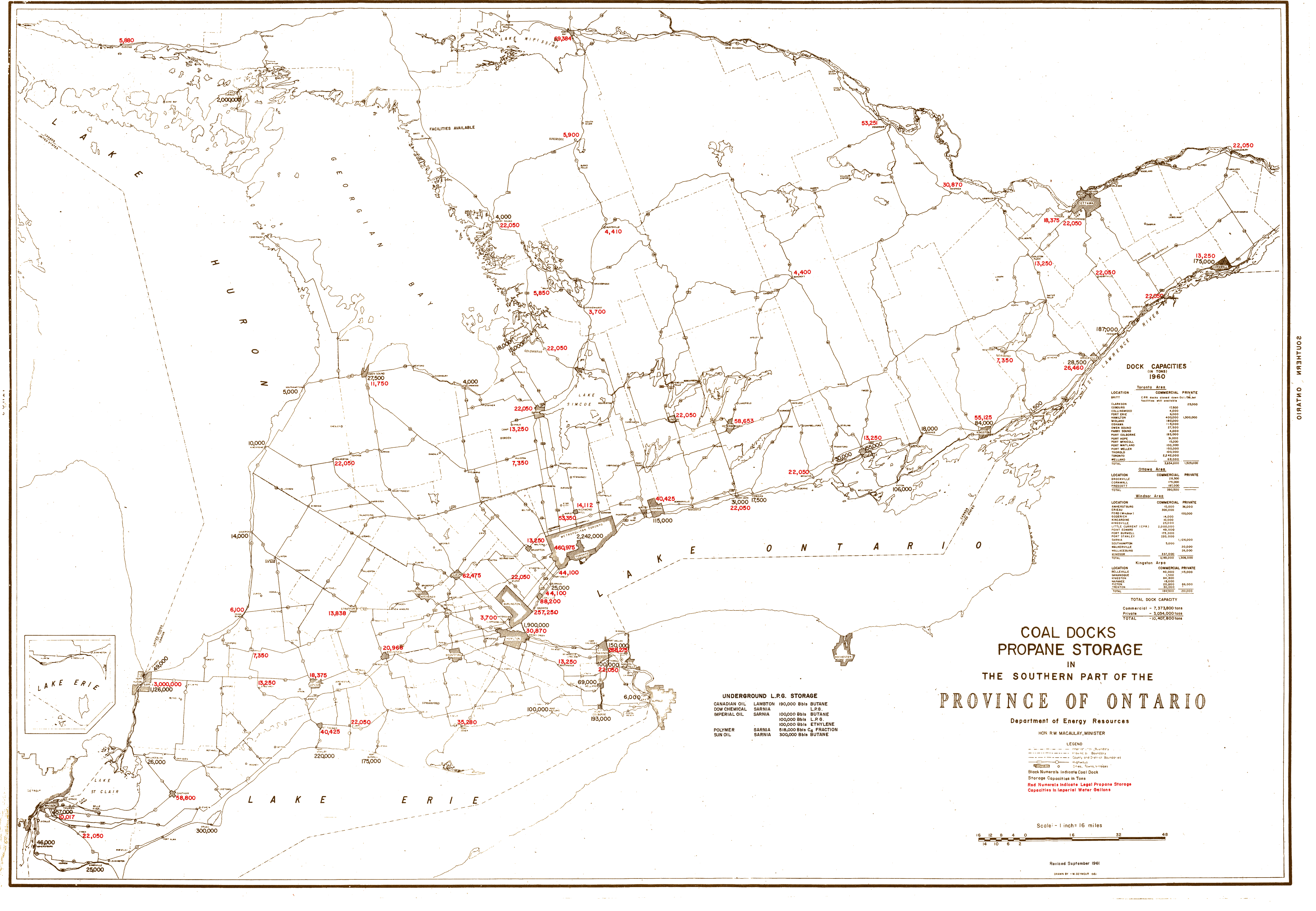
| Map Title | Coal Docks Propane Storage in the Southwestern Part of the Province of Ontario |
| Front/Back | Front |
| Blank | No |
| Physical Location | MAPH |
| Cartographer | M. Seymour |
| Publisher | Department of Energy Resources |
| Date | 1961-09-01 |
| Copyright Holder | Government |
| Map Type | Resource |
| Continent | North America |
| Country | Canada |
| State | Ontario |
| County | |
| Township | |
| Municipality | |
| Lat Ne | 45.945217 |
| Long Ne | -74.603339 |
| Lat Sw | 41.986759 |
| Long Sw | -83.224509 |
| Map Scale Text | 1 inch: 16 miles |
| Map Scale Ratio | 1:1,000,000 |
| Quality Score | 2 |
| Documentation Score | 2 |
| Georeference Algorithm | |
| Well Points | No |
| Notes | A map showing coal dock propane storage across southern, central, and western Ontario. |