| Filename | Brittain_MAPH_153_2018-08-03_1 |
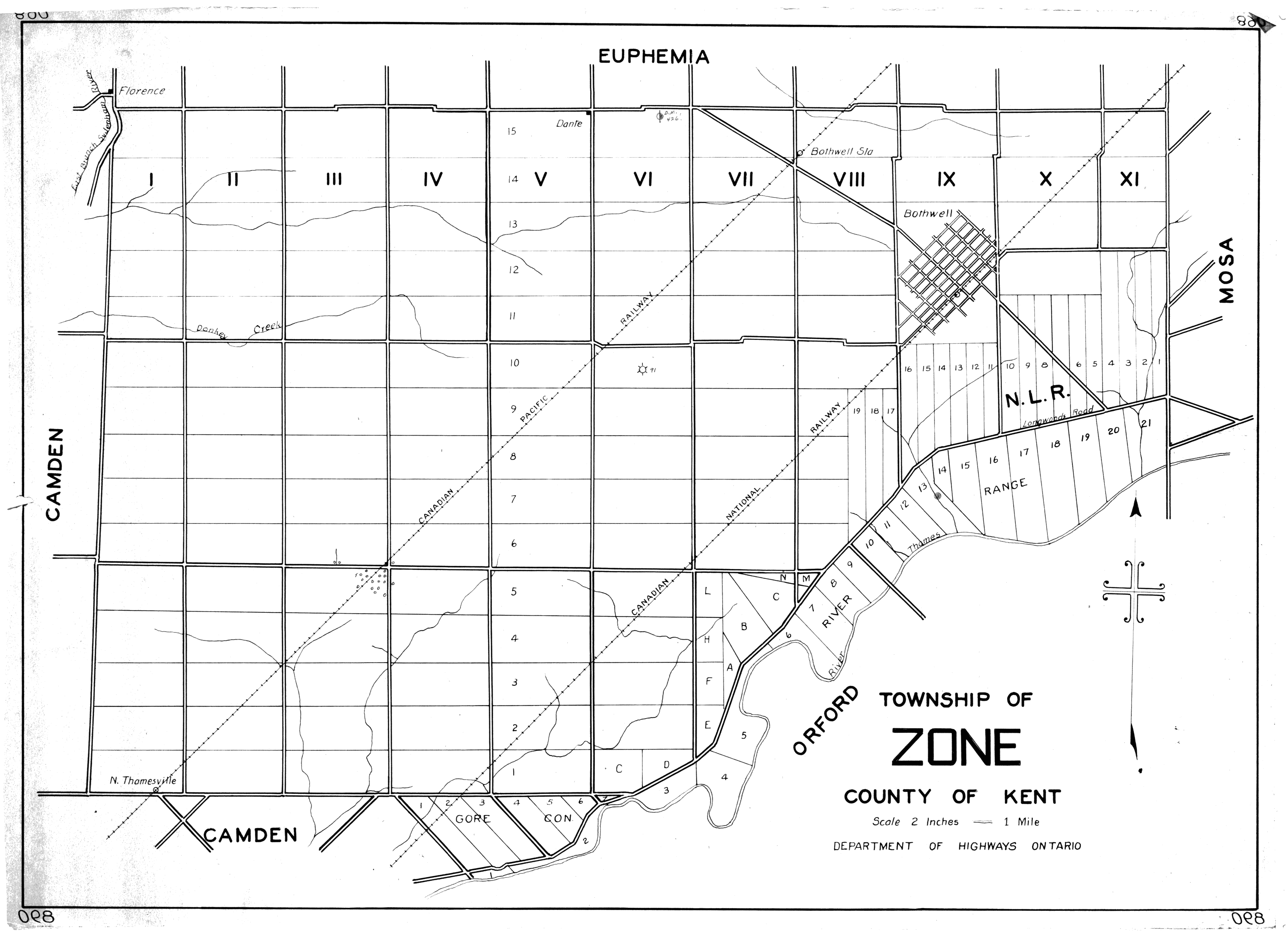
| Map Title | Township of Zone, County of Kent |
| Front/Back | Front |
| Blank | No |
| Physical Location | MAPH |
| Cartographer | Department of Highways Ontario |
| Publisher | Department of Highways Ontario |
| Date | |
| Copyright Holder | Government |
| Map Type | Political |
| Continent | North America |
| Country | Canada |
| State | Ontario |
| County | Kent |
| Township | Zone |
| Municipality | |
| Lat Ne | 42.651614 |
| Long Ne | -81.836806 |
| Lat Sw | 42.556827 |
| Long Sw | -82.010826 |
| Map Scale Text | 2 inches: 1 mile |
| Map Scale Ratio | 1:31,680 |
| Quality Score | 2 |
| Documentation Score | 1 |
| Georeference Algorithm | |
| Well Points | No |
| Notes | A map showing Zone Township in the County of Kent with lots and concessions. |