| Filename | Brittain_MAPH_148_2018-08-03_1 |
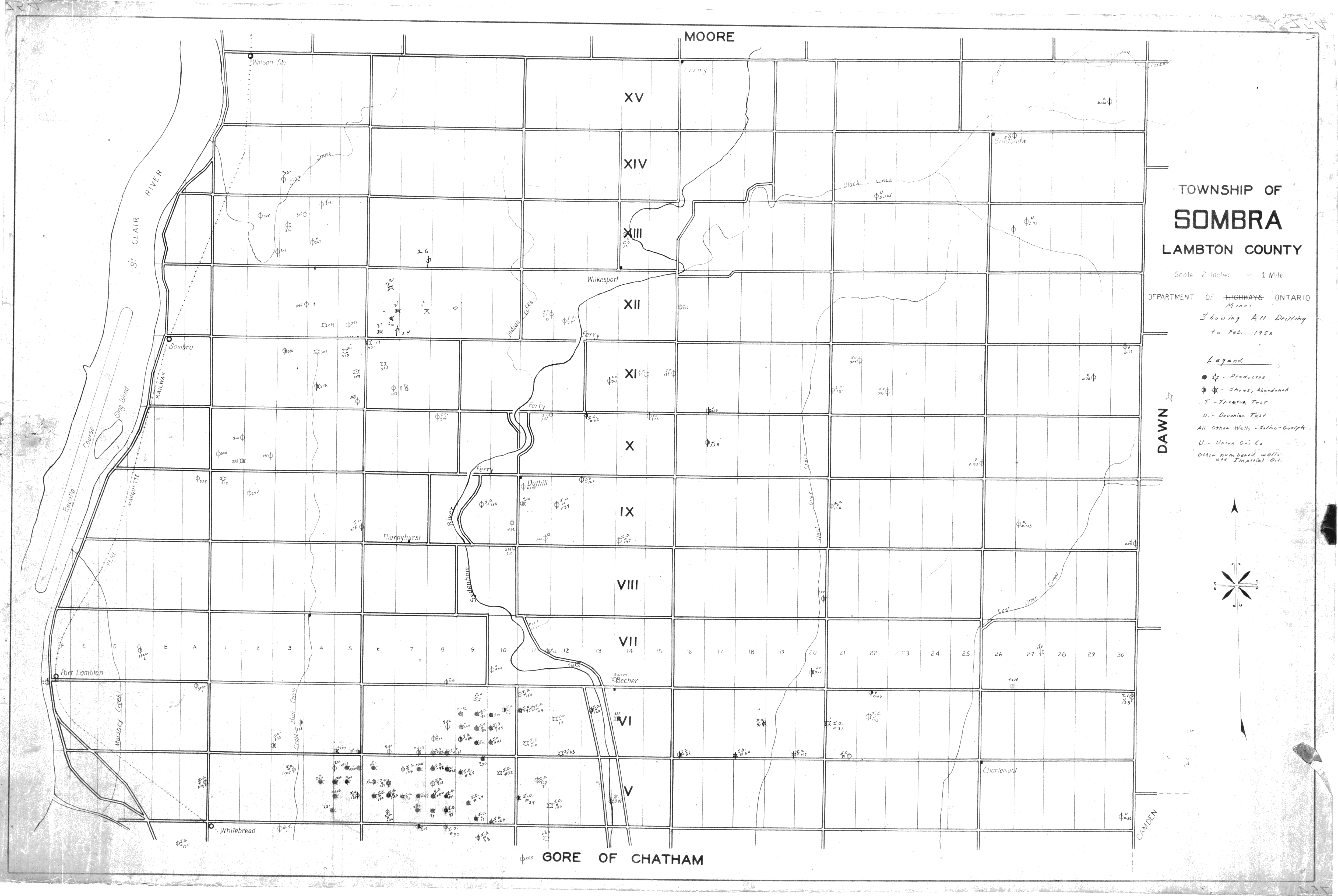
| Map Title | Township of Sombra, Lambton County |
| Front/Back | Front |
| Blank | No |
| Physical Location | MAPH |
| Cartographer | Department of Mines Ontario |
| Publisher | Department of Mines Ontario |
| Date | 1953-01-01 |
| Copyright Holder | Government |
| Map Type | Resource |
| Continent | North America |
| Country | Canada |
| State | Ontario |
| County | Lambton |
| Township | Sombra |
| Municipality | |
| Lat Ne | 42.760399 |
| Long Ne | -82.240919 |
| Lat Sw | 42.625439 |
| Long Sw | -82.507175 |
| Map Scale Text | 2 inches: 1 mile |
| Map Scale Ratio | 1:31,680 |
| Quality Score | 2 |
| Documentation Score | 2 |
| Georeference Algorithm | |
| Well Points | Yes |
| Notes | A map showing all drilling to February 1953 in Sombra Township. |