| Filename | Brittain_MAPH_140_2018-08-03_1 |
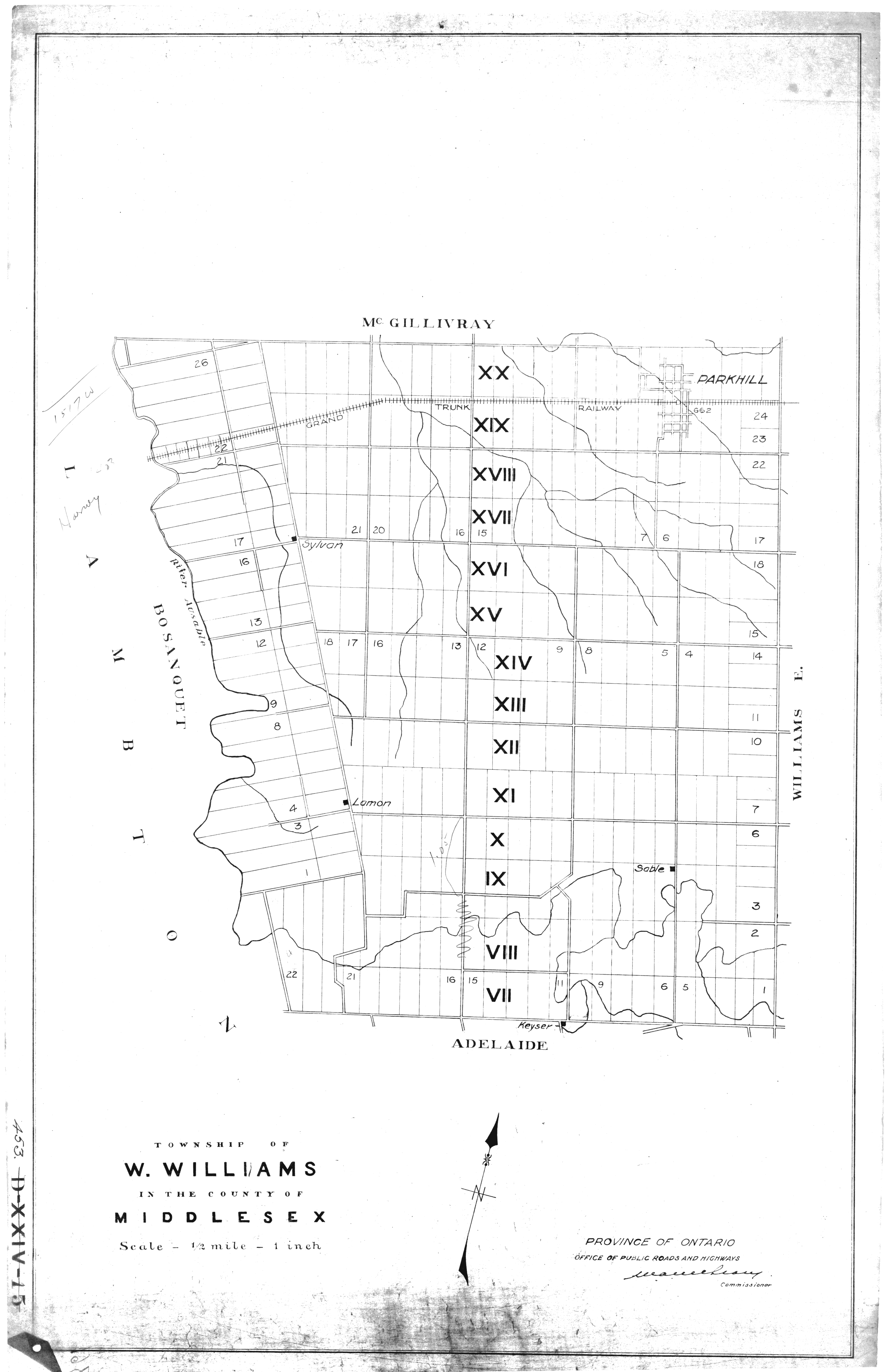
| Map Title | Township of West. Williams, County of Middlesex |
| Front/Back | Front |
| Blank | No |
| Physical Location | MAPH |
| Cartographer | Province of Ontario Office of Public Roads and Highways |
| Publisher | Province of Ontario Office of Public Roads and Highways |
| Date | |
| Copyright Holder | Government |
| Map Type | Political |
| Continent | North America |
| Country | Canada |
| State | Ontario |
| County | Middlesex |
| Township | Williams West |
| Municipality | |
| Lat Ne | 43.167946 |
| Long Ne | -81.655912 |
| Lat Sw | 43.071688 |
| Long Sw | -81.837074 |
| Map Scale Text | 1 inch: 1/2 mile |
| Map Scale Ratio | 1:31,680 |
| Quality Score | 2 |
| Documentation Score | 2 |
| Georeference Algorithm | |
| Well Points | No |
| Notes | A map showing West Williams Township in the County of Middlesex, with lots and concessions. |