| Filename | Brittain_MAPH_109_2018-08-03_1 |
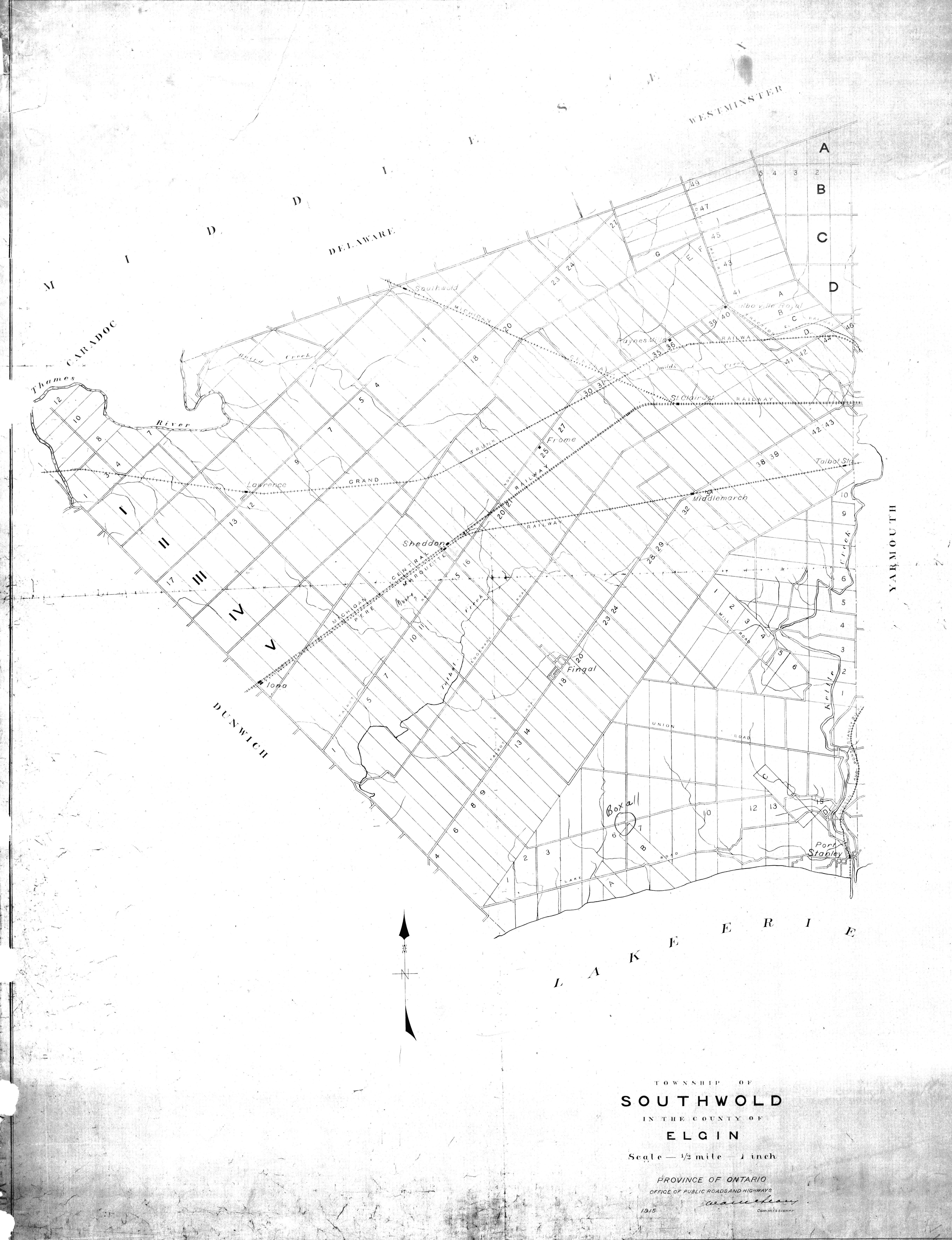
| Map Title | Township of Southwold, County of Elgin |
| Front/Back | Front |
| Blank | No |
| Physical Location | MAPH |
| Cartographer | Province of Ontario Office of Public Roads and Highways |
| Publisher | Province of Ontario Office of Public Roads and Highways |
| Date | 1915-01-01 |
| Copyright Holder | Government |
| Map Type | Resource |
| Continent | North America |
| Country | Canada |
| State | Ontario |
| County | Elgin |
| Township | Southwold |
| Municipality | |
| Lat Ne | 42.852117 |
| Long Ne | -81.183406 |
| Lat Sw | 42.646963 |
| Long Sw | -81.48553 |
| Map Scale Text | 1 inch: 1/2 mile |
| Map Scale Ratio | 1:31,680 |
| Quality Score | 2 |
| Documentation Score | 2 |
| Georeference Algorithm | |
| Well Points | Yes |
| Notes | A map of Kent County, Southwold Township, with several well points drawn on the map. |