| Filename | Brittain_MAPH_106_2018-08-03_1 |
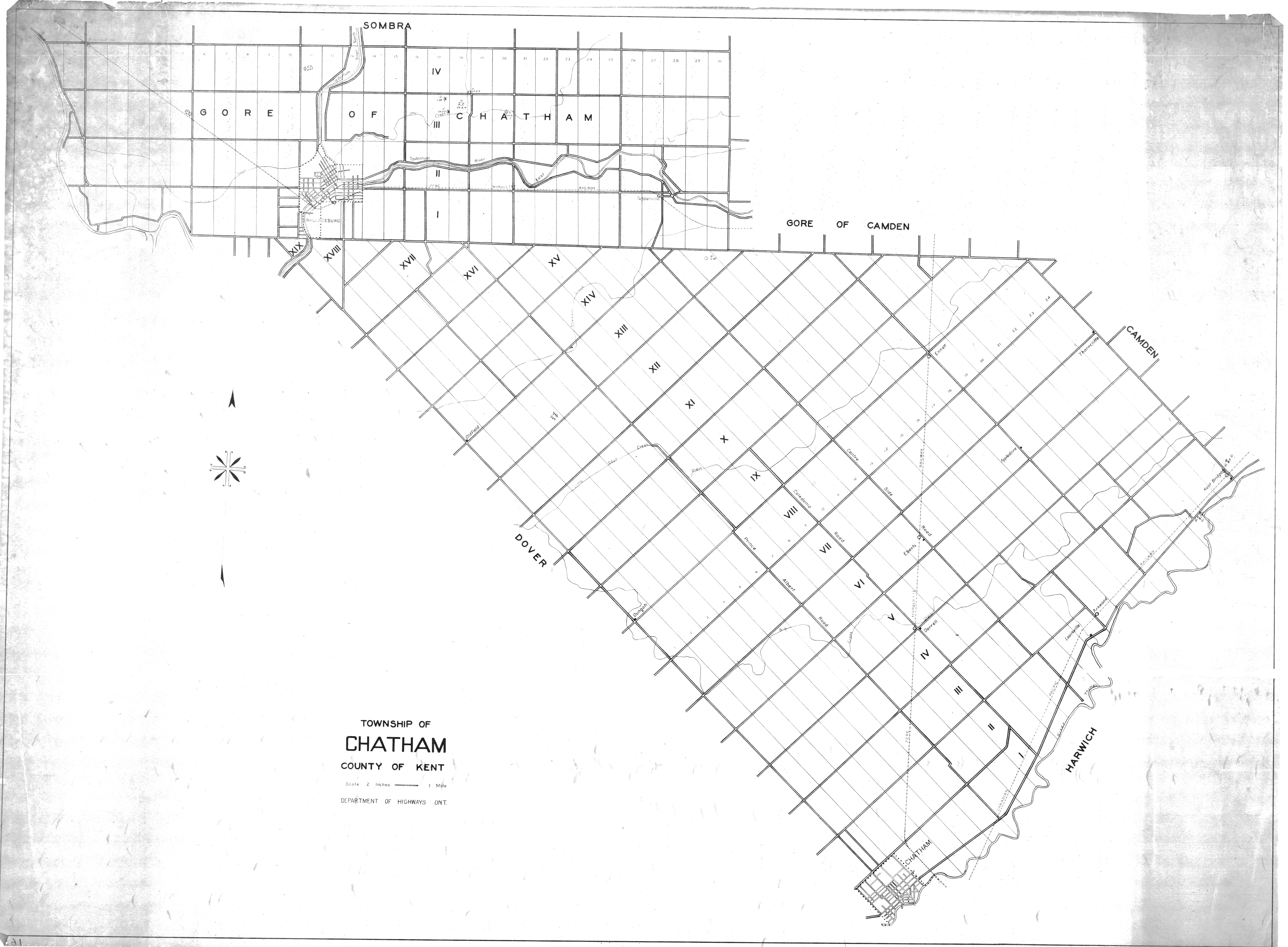
| Map Title | Township of Chatham, County of Kent |
| Front/Back | Front |
| Blank | No |
| Physical Location | MAPH |
| Cartographer | Department of Highways Ontario |
| Publisher | Department of Highways Ontario |
| Date | |
| Copyright Holder | Government |
| Map Type | Resource |
| Continent | North America |
| Country | Canada |
| State | Ontario |
| County | Kent |
| Township | Chatham |
| Municipality | |
| Lat Ne | 42.569871 |
| Long Ne | -82.066624 |
| Lat Sw | 42.411823 |
| Long Sw | -82.46031 |
| Map Scale Text | 1 inch: 2 miles |
| Map Scale Ratio | 1:126,720 |
| Quality Score | 2 |
| Documentation Score | 2 |
| Georeference Algorithm | |
| Well Points | Yes |
| Notes | A map of Kent County, Chatham Township, with several well points drawn on the map. |