| Filename | Brittain_MAPH_101_2018-08-03_1 |
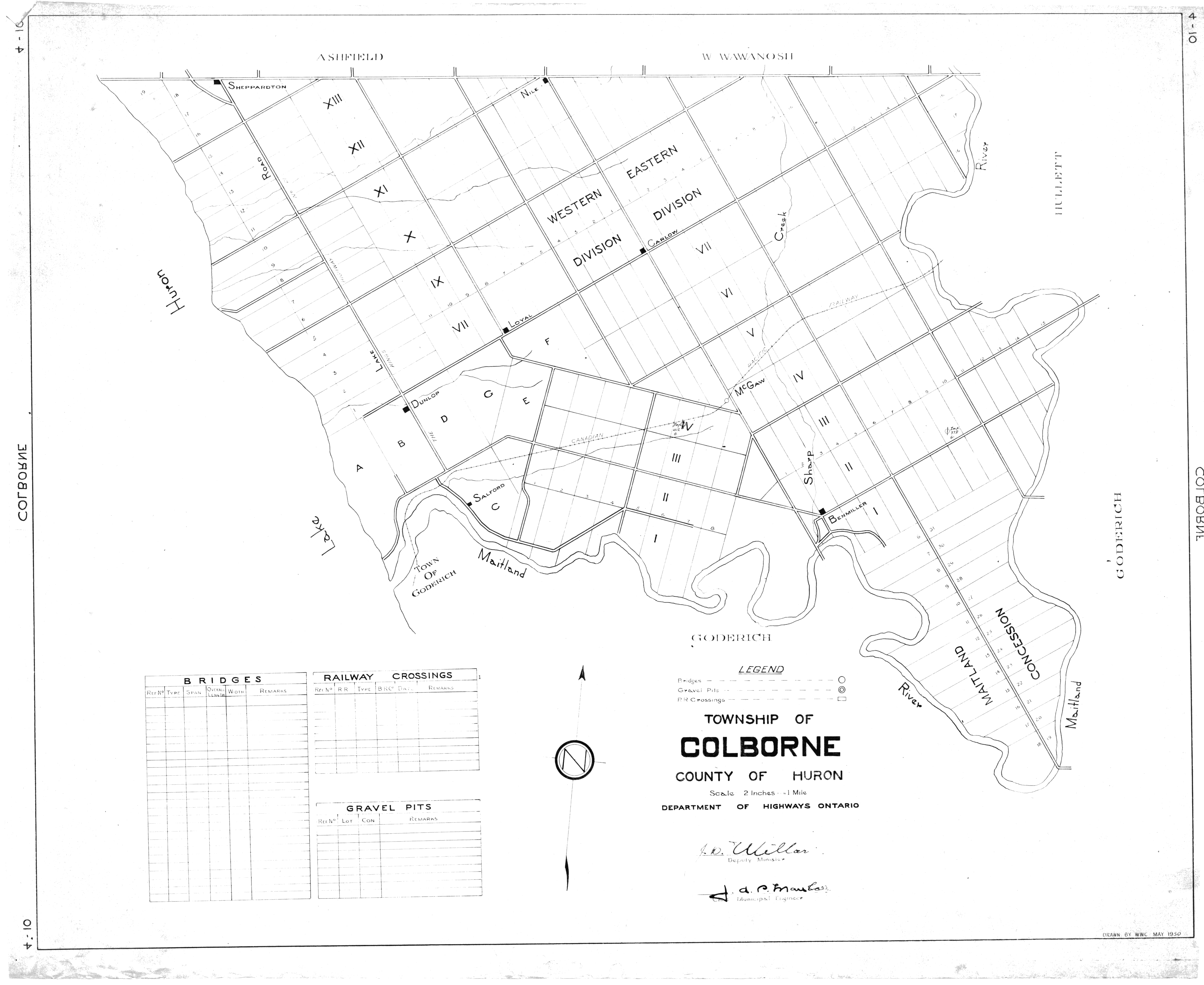
| Map Title | Township of Colborne, County of Huron |
| Front/Back | Front |
| Blank | No |
| Physical Location | MAPH |
| Cartographer | W. W. C. |
| Publisher | Department of Highways Ontario |
| Date | 1950-05-01 |
| Copyright Holder | Government |
| Map Type | Resource |
| Continent | North America |
| Country | Canada |
| State | Ontario |
| County | Huron |
| Township | Colborne |
| Municipality | |
| Lat Ne | 43.756265 |
| Long Ne | -81.503329 |
| Lat Sw | 43.71602 |
| Long Sw | -81.796136 |
| Map Scale Text | 1 inch: 2 miles |
| Map Scale Ratio | 1:126,720 |
| Quality Score | 2 |
| Documentation Score | 1 |
| Georeference Algorithm | |
| Well Points | Yes |
| Notes | A map of Huron County, Colbourne Township, showing lots, concessions, and roads. |