| Filename | Brittain_MAPFC_448_2018-06-20_1 |
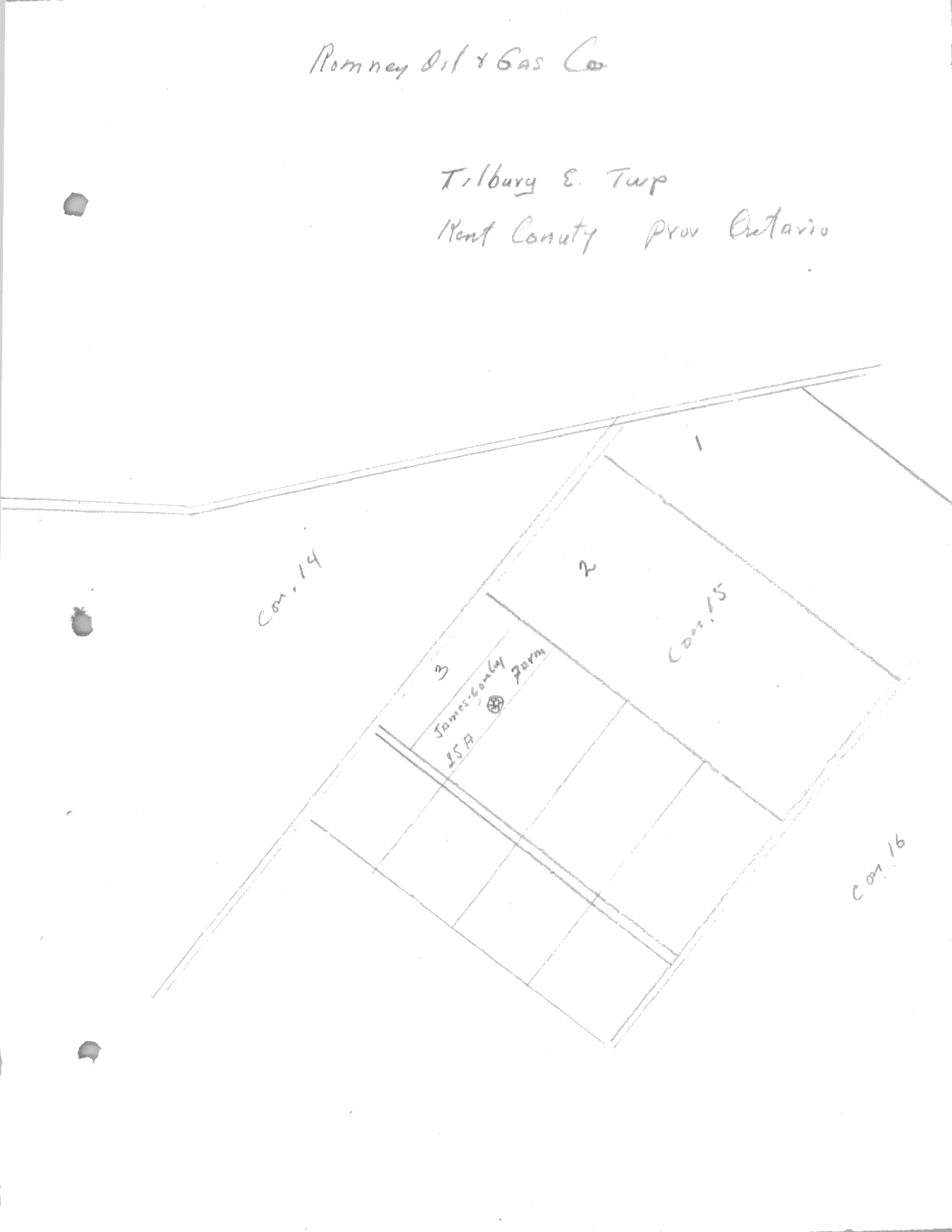
| Map Title | Romney Oil + Gas Field |
| Front/Back | Front |
| Blank | No |
| Physical Location | MAPFC |
| Cartographer | |
| Publisher | |
| Date | |
| Copyright Holder | Private |
| Map Type | Resource |
| Continent | North America |
| Country | Canada |
| State | Ontario |
| County | Kent |
| Township | Tilbury East |
| Municipality | |
| Lat Ne | 42.231427 |
| Long Ne | -82.217349 |
| Lat Sw | 42.204359 |
| Long Sw | -82.247608 |
| Map Scale Text | |
| Map Scale Ratio | |
| Quality Score | 2 |
| Documentation Score | 2 |
| Georeference Algorithm | |
| Well Points | Yes |
| Notes | A hand-drawn map showing a well on the James Conlay farm in Romney Township, Kent County. |