| Filename | Brittain_MAPFC_354_2018-08-10_1 |
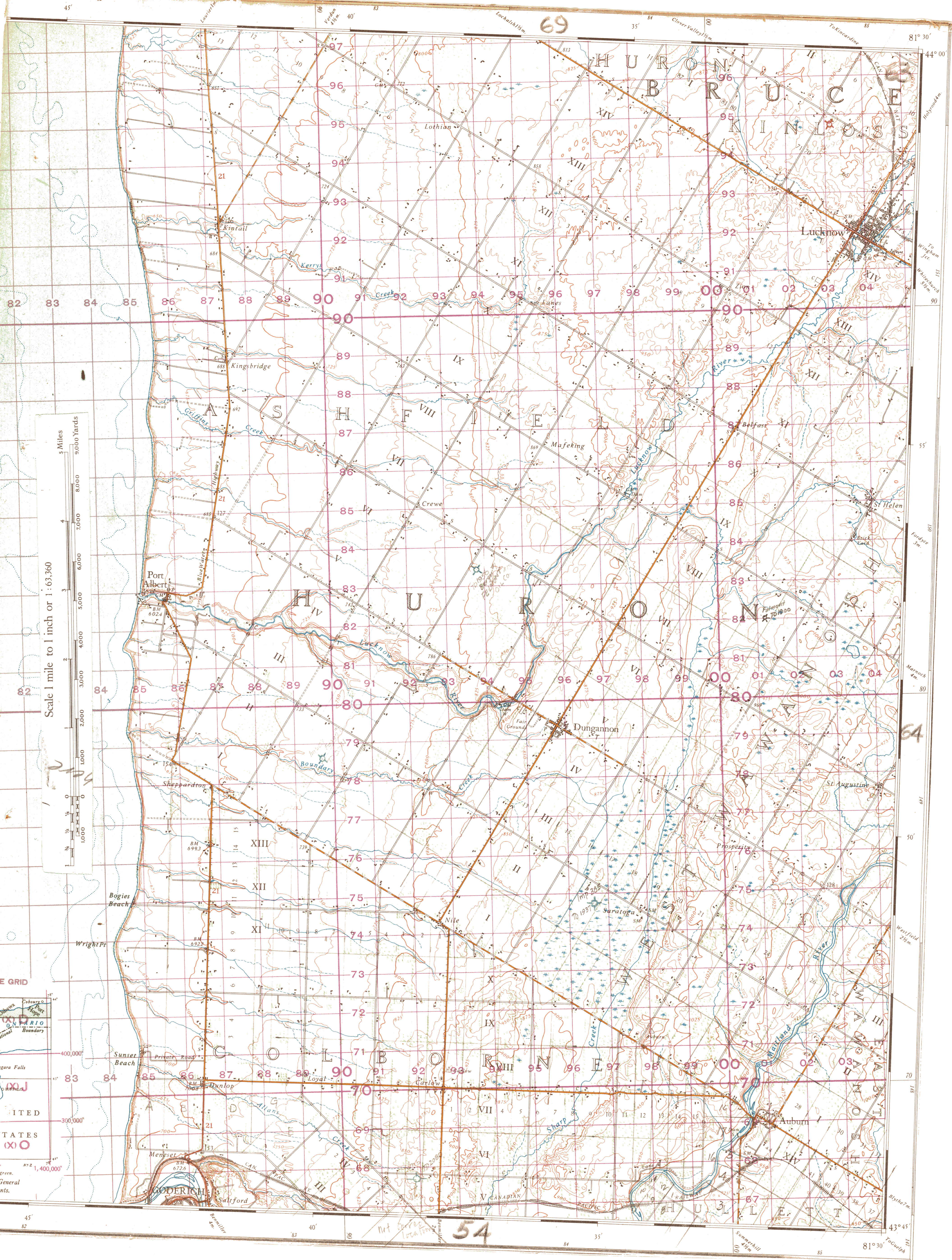
| Map Title | Huron County, Colborne Township - Map 63 |
| Front/Back | Front |
| Blank | No |
| Physical Location | MAPFC |
| Cartographer | |
| Publisher | |
| Date | |
| Copyright Holder | |
| Map Type | Resource |
| Continent | North America |
| Country | Canada |
| State | Ontario |
| County | Huron |
| Township | Colborne |
| Municipality | |
| Lat Ne | 43.991103 |
| Long Ne | -81.501716 |
| Lat Sw | 43.741979 |
| Long Sw | -81.748504 |
| Map Scale Text | |
| Map Scale Ratio | |
| Quality Score | 2 |
| Documentation Score | 3 |
| Georeference Algorithm | |
| Well Points | Yes |
| Notes | A map of Huron County, Colborne Township showing well locations, lots and concessions. |