| Filename | Brittain_MAPFC_325_2018-08-10_1 |
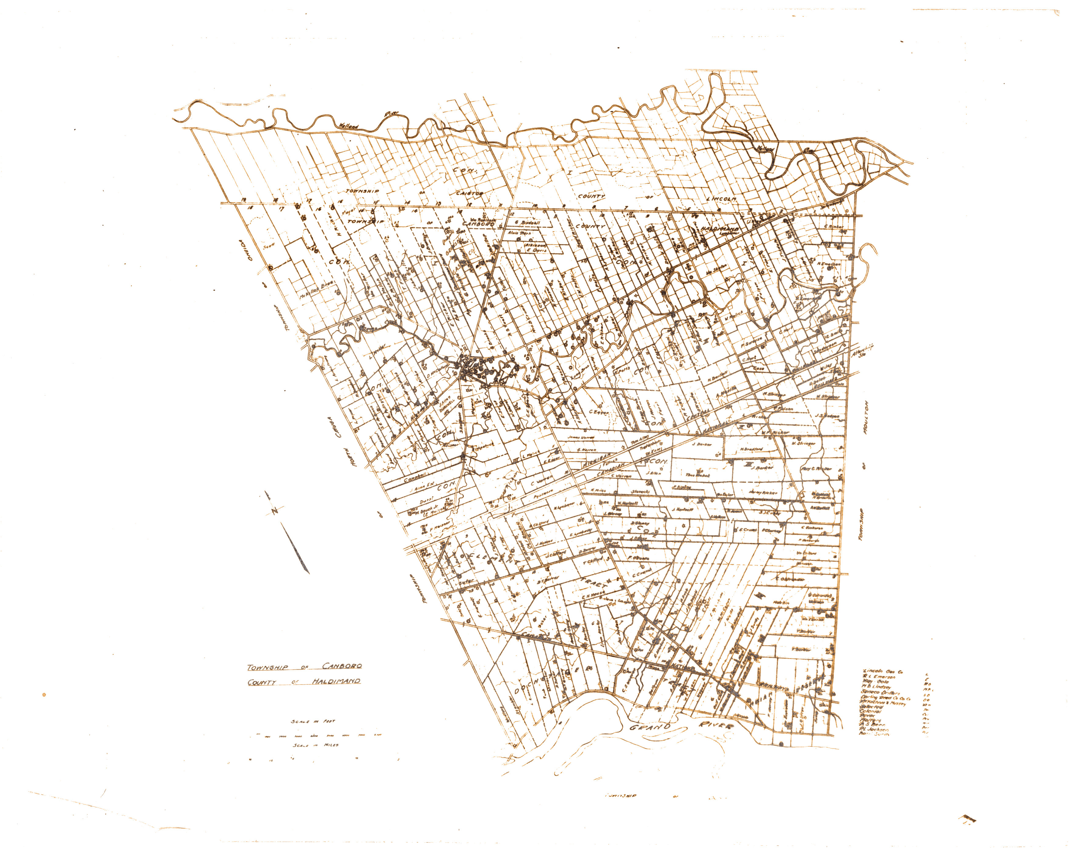
| Map Title | Township of Canboro, County of Haldimand |
| Front/Back | Front |
| Blank | No |
| Physical Location | MAPFC |
| Cartographer | |
| Publisher | |
| Date | |
| Copyright Holder | |
| Map Type | Resource |
| Continent | North America |
| Country | Canada |
| State | Ontario |
| County | Haldimand |
| Township | Canborough |
| Municipality | |
| Lat Ne | 42.996641 |
| Long Ne | -79.565291 |
| Lat Sw | 42.950664 |
| Long Sw | -79.765832 |
| Map Scale Text | |
| Map Scale Ratio | |
| Quality Score | 2 |
| Documentation Score | 3 |
| Georeference Algorithm | |
| Well Points | Yes |
| Notes | A map of the Township of Canboro with property names, well points, lots and concessions. |