| Filename | Brittain_MAPFC_313_2018-08-09_1 |
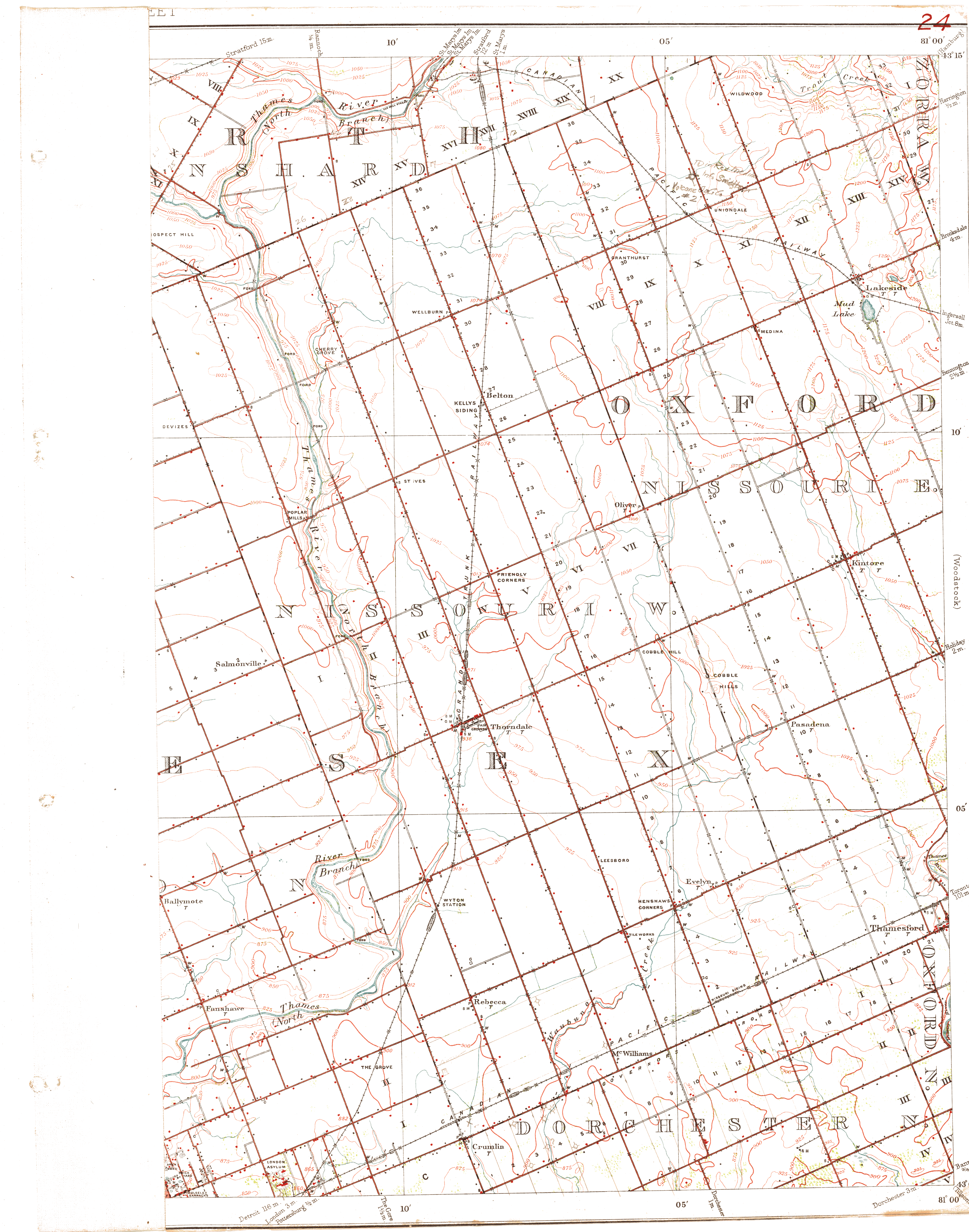
| Map Title | Oxford County, Nissouri East - Map 24 |
| Front/Back | Front |
| Blank | No |
| Physical Location | MAPFC |
| Cartographer | |
| Publisher | |
| Date | |
| Copyright Holder | |
| Map Type | Resource |
| Continent | North America |
| Country | Canada |
| State | Ontario |
| County | Oxford |
| Township | East Nissouri |
| Municipality | |
| Lat Ne | 43.260163 |
| Long Ne | -80.998377 |
| Lat Sw | 42.999602 |
| Long Sw | -81.235842 |
| Map Scale Text | |
| Map Scale Ratio | |
| Quality Score | 2 |
| Documentation Score | 3 |
| Georeference Algorithm | |
| Well Points | Yes |
| Notes | A map showing portions of Oxford - Nissouri East with well points and contours. |