| Filename | Brittain_MAPFC_299_2018-08-09_1 |
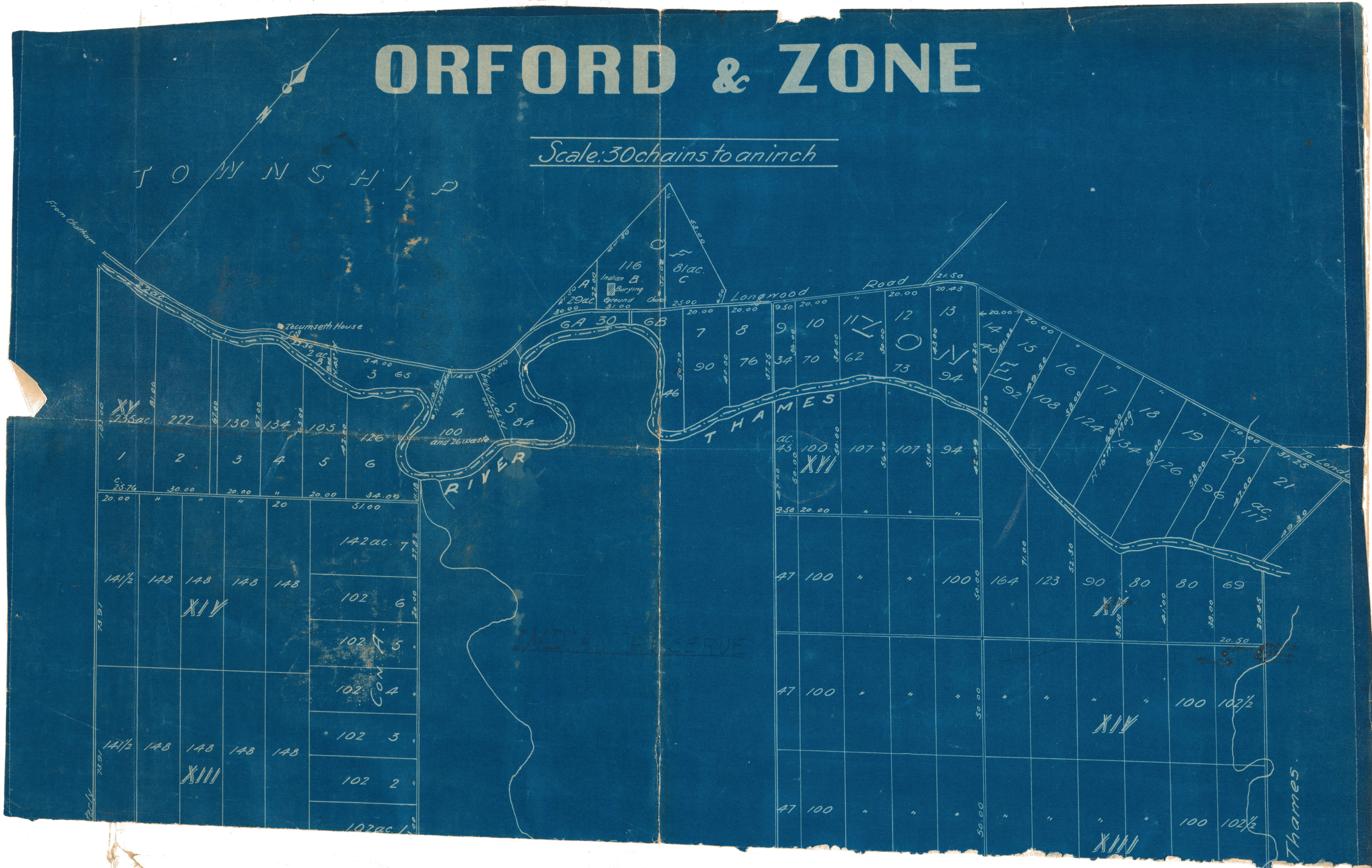
| Map Title | Orford and Zone |
| Front/Back | Front |
| Blank | No |
| Physical Location | MAPFC |
| Cartographer | |
| Publisher | |
| Date | |
| Copyright Holder | |
| Map Type | Resource |
| Continent | North America |
| Country | Canada |
| State | Ontario |
| County | |
| Township | |
| Municipality | |
| Lat Ne | 42.633735 |
| Long Ne | -81.851318 |
| Lat Sw | 42.525607 |
| Long Sw | -81.907844 |
| Map Scale Text | 1 inch: 30 chains (1980 ft) |
| Map Scale Ratio | 1:23,760 |
| Quality Score | 2 |
| Documentation Score | 2 |
| Georeference Algorithm | |
| Well Points | No |
| Notes | A map showing Orford and Zone with lots, concessions and rivers. |