| Filename | Brittain_MAPFC_287_2018-08-09_1 |
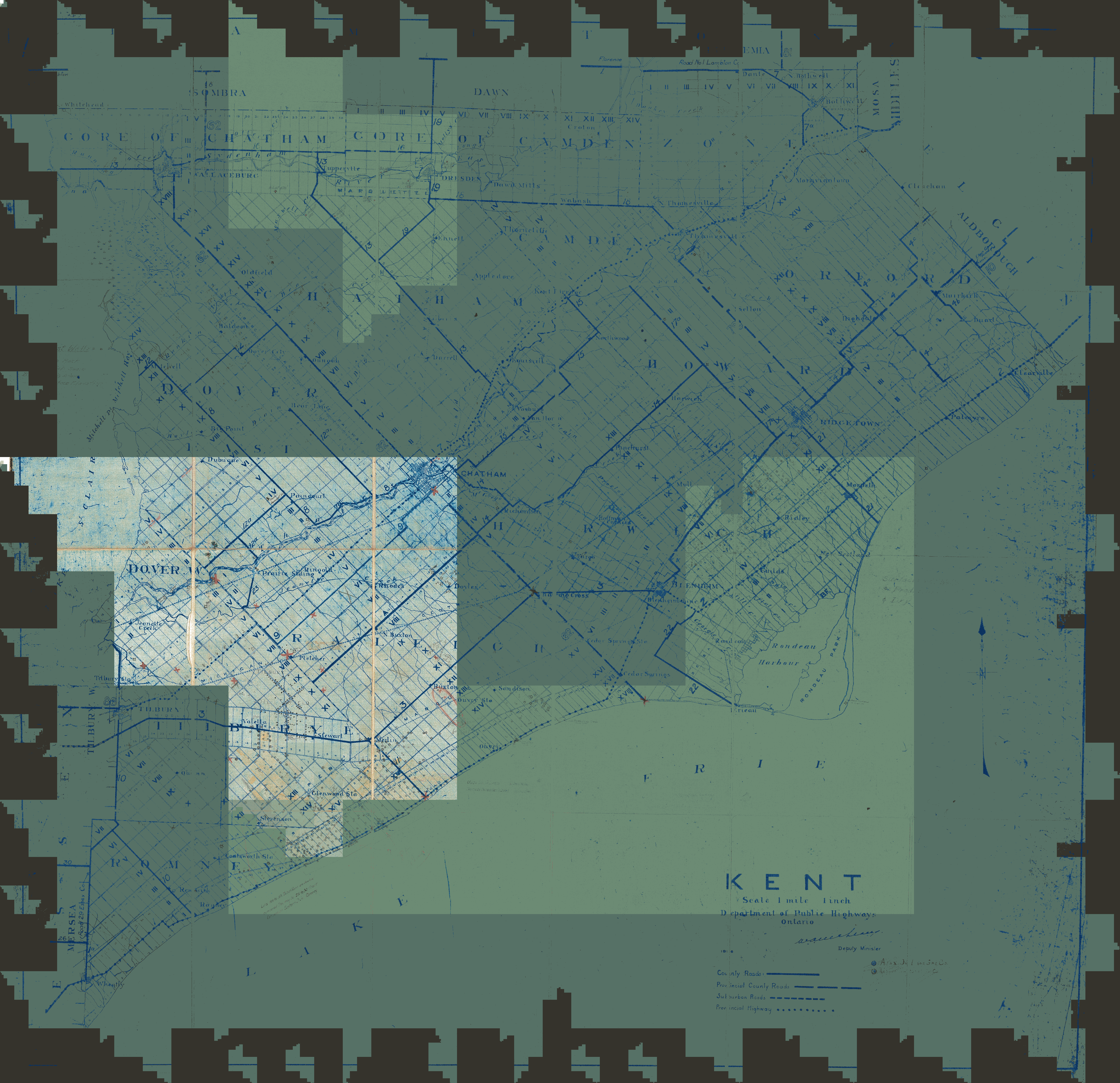
| Map Title | Kent County |
| Front/Back | Front |
| Blank | No |
| Physical Location | MAPFC |
| Cartographer | Department of Public Highways Ontario |
| Publisher | Department of Public Highways Ontario |
| Date | |
| Copyright Holder | Government |
| Map Type | Resource |
| Continent | North America |
| Country | Canada |
| State | Ontario |
| County | Kent |
| Township | |
| Municipality | |
| Lat Ne | 42.654159 |
| Long Ne | -81.7855 |
| Lat Sw | 42.019337 |
| Long Sw | -82.479998 |
| Map Scale Text | 1 inch: 1 mile |
| Map Scale Ratio | 1:63,360 |
| Quality Score | 2 |
| Documentation Score | 3 |
| Georeference Algorithm | |
| Well Points | Yes |
| Notes | A map of Kent County with handwritten notes regarding well locations on lots, concessions and boundaries. |