| Filename | Brittain_MAPFC_249_2018-08-08_1 |
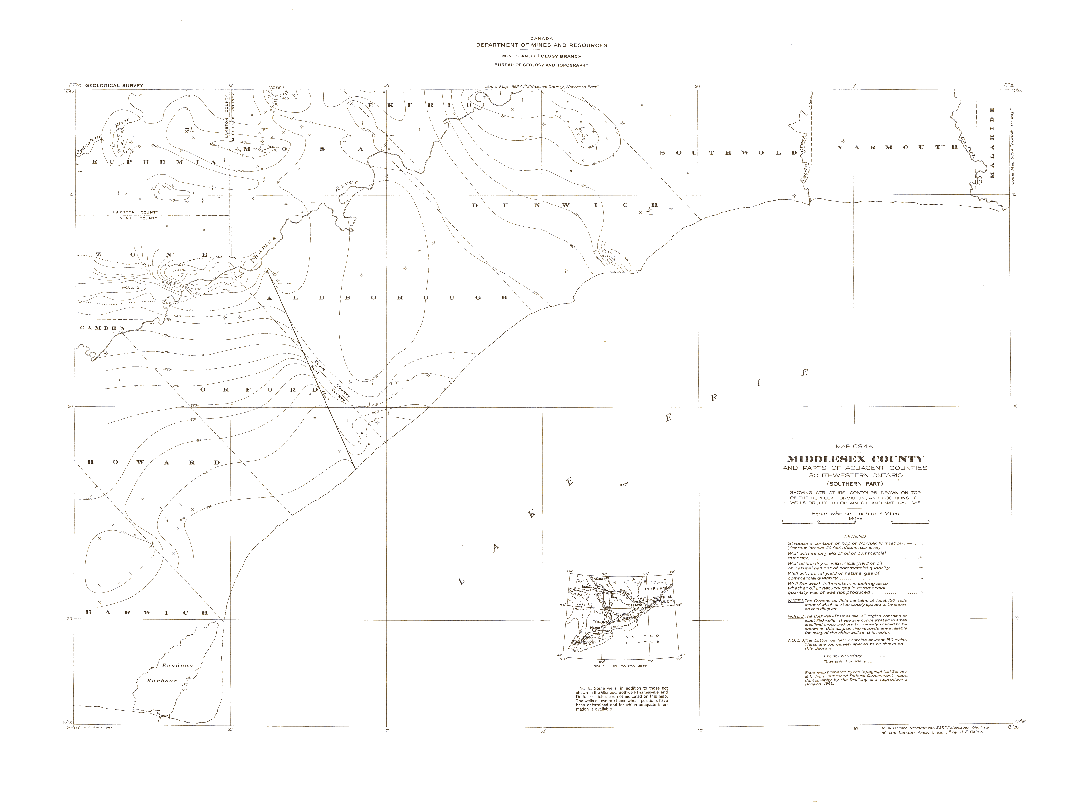
| Map Title | Middlesex County and Parts of Adjacent Counties, Southwestern Ontario - Map 694A |
| Front/Back | Front |
| Blank | No |
| Physical Location | MAPFC |
| Cartographer | Department of Mines and Resources |
| Publisher | Department of Mines and Resources |
| Date | 1942-01-01 |
| Copyright Holder | Government |
| Map Type | Resource |
| Continent | North America |
| Country | Canada |
| State | Ontario |
| County | Middlesex |
| Township | |
| Municipality | |
| Lat Ne | 42.658538 |
| Long Ne | -81.035555 |
| Lat Sw | 42.333786 |
| Long Sw | -81.843759 |
| Map Scale Text | 1 inch: 2 miles |
| Map Scale Ratio | 1:126,720 |
| Quality Score | 2 |
| Documentation Score | 2 |
| Georeference Algorithm | |
| Well Points | Yes |
| Notes | A map with structure contours drawn on top of the Norfolk formation and the positions of oil and natural gas wells. |