| Filename | Brittain_MAPFC_232_2018-08-07_1 |
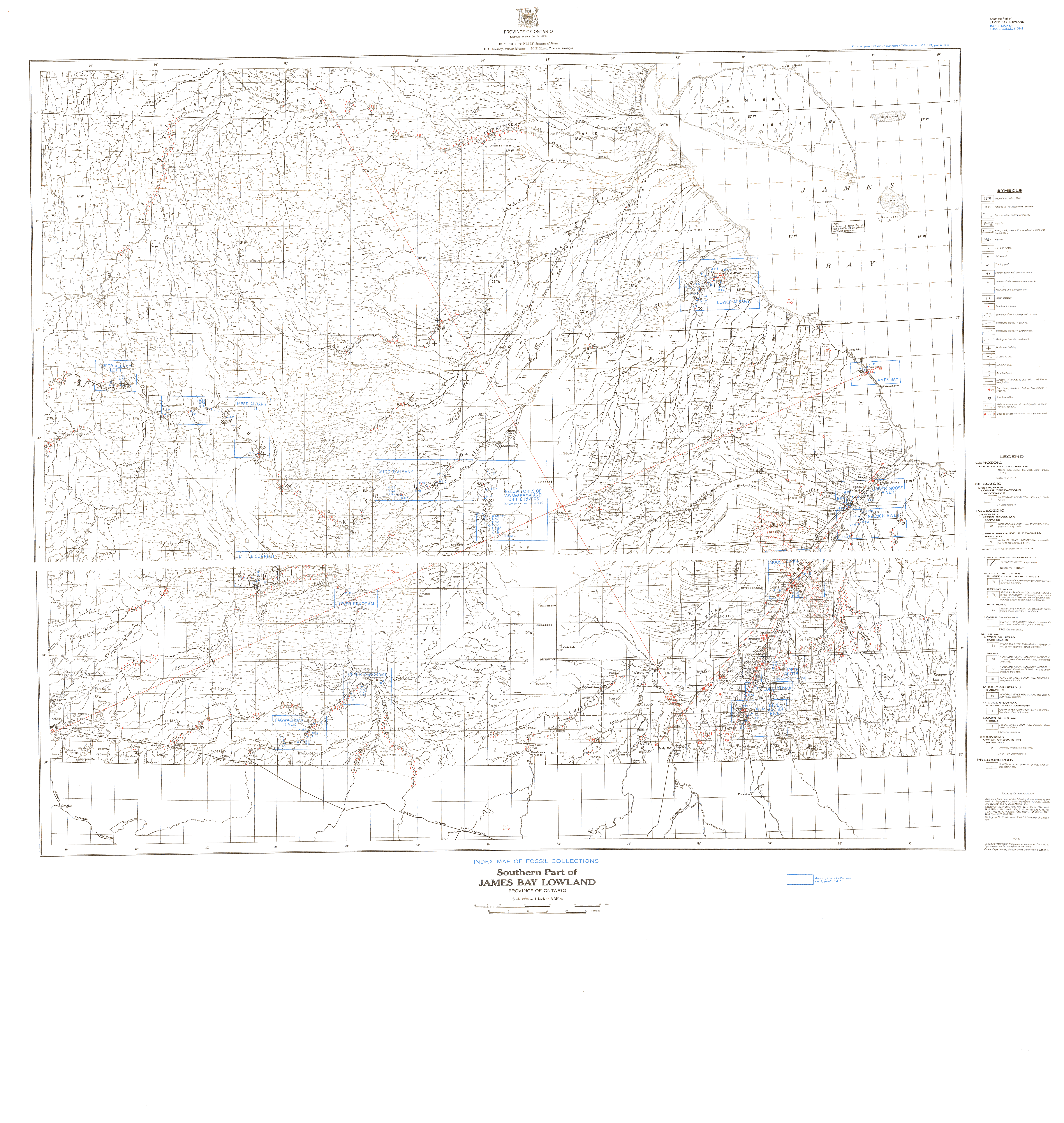
| Map Title | Southern Part of James Bay Lowland - Index Map of Fossil Collections |
| Front/Back | Front |
| Blank | No |
| Physical Location | MAPFC |
| Cartographer | Department of Mines |
| Publisher | Department of Mines |
| Date | 1952-01-01 |
| Copyright Holder | Government |
| Map Type | Topographic |
| Continent | North America |
| Country | Canada |
| State | Ontario |
| County | |
| Township | |
| Municipality | |
| Lat Ne | 53.004444 |
| Long Ne | -79.421817 |
| Lat Sw | 50.293554 |
| Long Sw | -86.197498 |
| Map Scale Text | 1 inch: 8 miles |
| Map Scale Ratio | 1:506,880 |
| Quality Score | 2 |
| Documentation Score | 1 |
| Georeference Algorithm | |
| Well Points | No |
| Notes | A map of James Bay Lowlands showing fossil locations. |